

Nepal UK
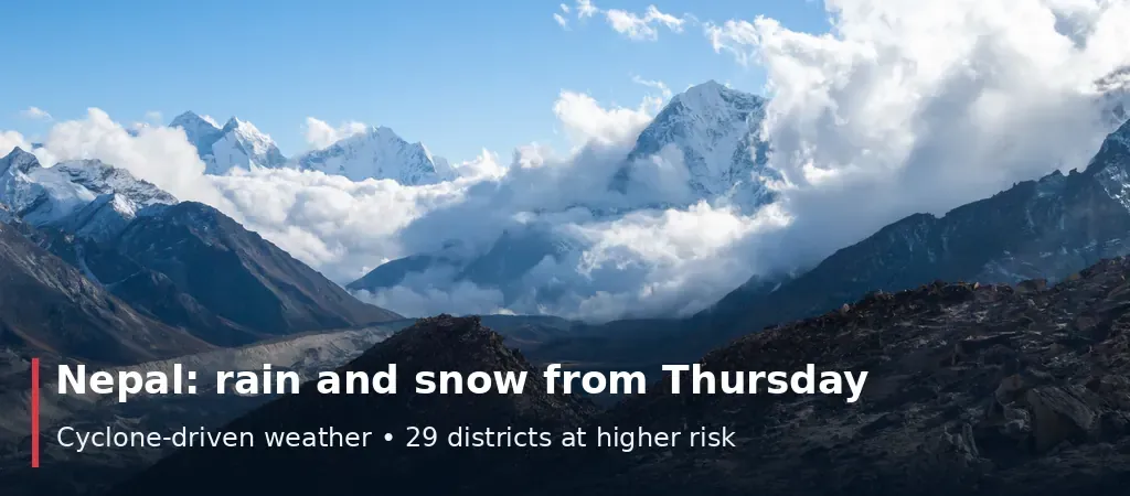
A low-pressure system over the Bay of Bengal is expected to bring three to four days of rain and possible Himalayan snow to Nepal from Thursday 29 October, with the heaviest effects forecast between Thursday night and Saturday afternoon. Forecasters have identified 29 districts across five provinces as being at comparatively higher risk, mainly in Koshi, Madhesh, Bagmati, Gandaki and eastern Lumbini. Kathmandu is included in the Thursday-to-Saturday window.
The forecast is explicitly preliminary. One meteorologist's early risk map suggests that parts of Bagmati Province could receive more than 150 millimetres between 29 October and 1 November, but the Department of Hydrology and Meteorology has said the amount of rain and level of risk cannot yet be determined with certainty. India's weather service says the system formed over the east-central Bay of Bengal and may strengthen into a cyclone before approaching the Andhra Pradesh coast.
The timing matters: Nepal's monsoon officially withdrew on 14 October, the paddy harvest is under way, and many people are travelling back to work after Dashain. Farmers have been advised to postpone harvesting and crop transport, trekkers to avoid Himalayan routes, and travellers to avoid long journeys on Friday and Saturday. Landslide vulnerability in Manang was singled out. For families in the UK with relatives in Nepal, or travelling there this week, the practical step is to follow updated official bulletins, which may change the affected districts. The latest verified update is 25 October 2026.


